
Charcoal Kilns
TIMELINE: 1877-1900, though there is no clear evidence that the charcoal kilns were operational after 1879
RESOURCE: charcoal, which provided a source of fuel for use in two smelters about 25 miles from the kilns
RUINS: The kilns remain in tact.
LOCATION: The Charcoal Kilns are located along Emigrant Canyon Road, 28 miles from Highway 190.
HISTORY: In the 19th century and earlier, charcoal was used for a furnace fuel because it burned more slowly than wood and created a much greater heat that was needed for the refining of ores. The Charcoal was transported to the smelters by mule pack-trains, though wagons also were probably involved.
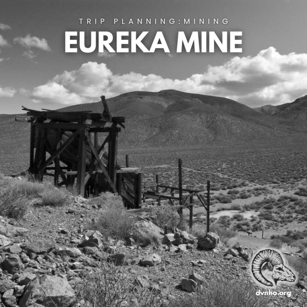
Eureka Mine
TIMELINE: 1905-1930s
RESOURCE: gold ore
RUINS: Several structures remain. At the site of the mine, pictured here, the tunnels have all been closed with a bat gate due to dangerous conditions within.
LOCATION: Aguereberry Point Road, less than 1.5 miles from the Emigrant Canyon Road junction
HISTORY: By August 1905, at least 20 parties were working and samples of the gold were evaluated as high as $500 a ton. Three hundred men and women settled into the camp which became known as Harrisburg. Water was brought in from Emigrant Spring, Blackwater Spring, and Wild Rose Spring.
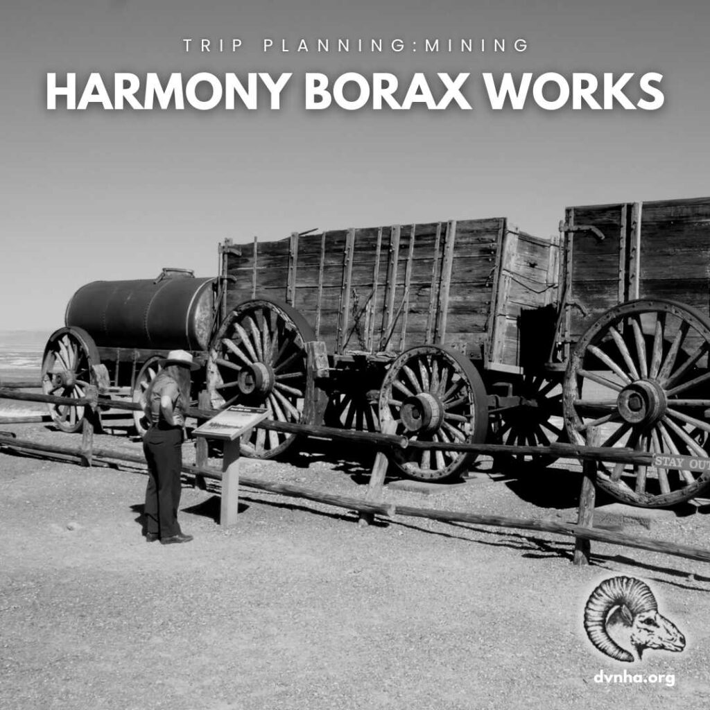
Harmony Borax Works
TIMELINE: 1883-1888
RESOURCE: Borax ore
RUINS: A paved walking loop brings visitors around the mining site, where you can see adobe ruins and a 20-Mule Team wagon.
LOCATION: 1 mile West of the Furnace Creek Visitor Center on CA-190
HISTORY: When in full operation, the Harmony Borax Works employed 40 men who produced three tons of borax daily. Getting the finished product to market from the heart of Death Valley was a difficult task, and an efficient method had to be devised. The Harmony operation became famous through the use of large mule teams and double wagons which hauled borax the long overland route to Mojave.

Keane Wonder Mine
TIMELINE: 1903-1942
RESOURCE: gold ore
RUINS: This site, including the area where the mine camp and mill were located, remains accessible. A short walk up the trail at the end of the road will provide views of the lower tram terminal and the first few tram towers. Walk along the mining road for views of the aerial tramway.
LOCATION: Drive the Beatty Cutoff Road 5.7 miles north from Highway 190 to the marked dirt road for Keane Wonder Mine. Continue 2.8 miles to the parking area. The road is typically in rough condition and may require a high clearance vehicle with thick tires.
HISTORY: The ore buckets you can still observe along the mile-long aerial tramway would have transported 70 tons of gold ore a day during peak production. Summer temperatures caused equipment to overheat. Reduced spring output made water less abundant and limited production. By 1912, the value of the Keane Wonder Mine ebbed with a lack of raw material to continue mining profitably, and by 1942 the last attempt to continue operations came to a close.